Ambergate to Crich, Peak District
Distance: 12.90km or 8 miles.
Time: 4 hours, not incl. breaks
Region: Peak District / Derbyshire
![Hero Image: Ambergate start / landscape]
Photo: Looking along the trail near Ambergate — early light catching the river valley.
Overview
This walk carries you from Ambergate up through gentle fields, following riverside paths and old railway lines before climbing toward Crich, with wide views over the Derwent Valley. It’s a route that balances quiet woodland, open fields, and long vistas.
The Route
Leaving Ambergate
We set off from the car park just by the river, with the water glinting under soft morning light. The first section follows the Derwent River, wide and slow here, with the path running easy and clear.
Conditions: [insert notes — muddy? dry? stony? undergrowth?]
Through Fields and Woods
![Photo: Trail through fields / oak trees]
After a short stretch beside the road, the trail heads into fields and then into a quieter woodland section. The ground here can vary — firm underfoot on dry days, soft and spongy after rain — but it’s a lovely change of pace from riverside paths.
Conditions: [insert notes — boggy, firm, shaded, bugs?]
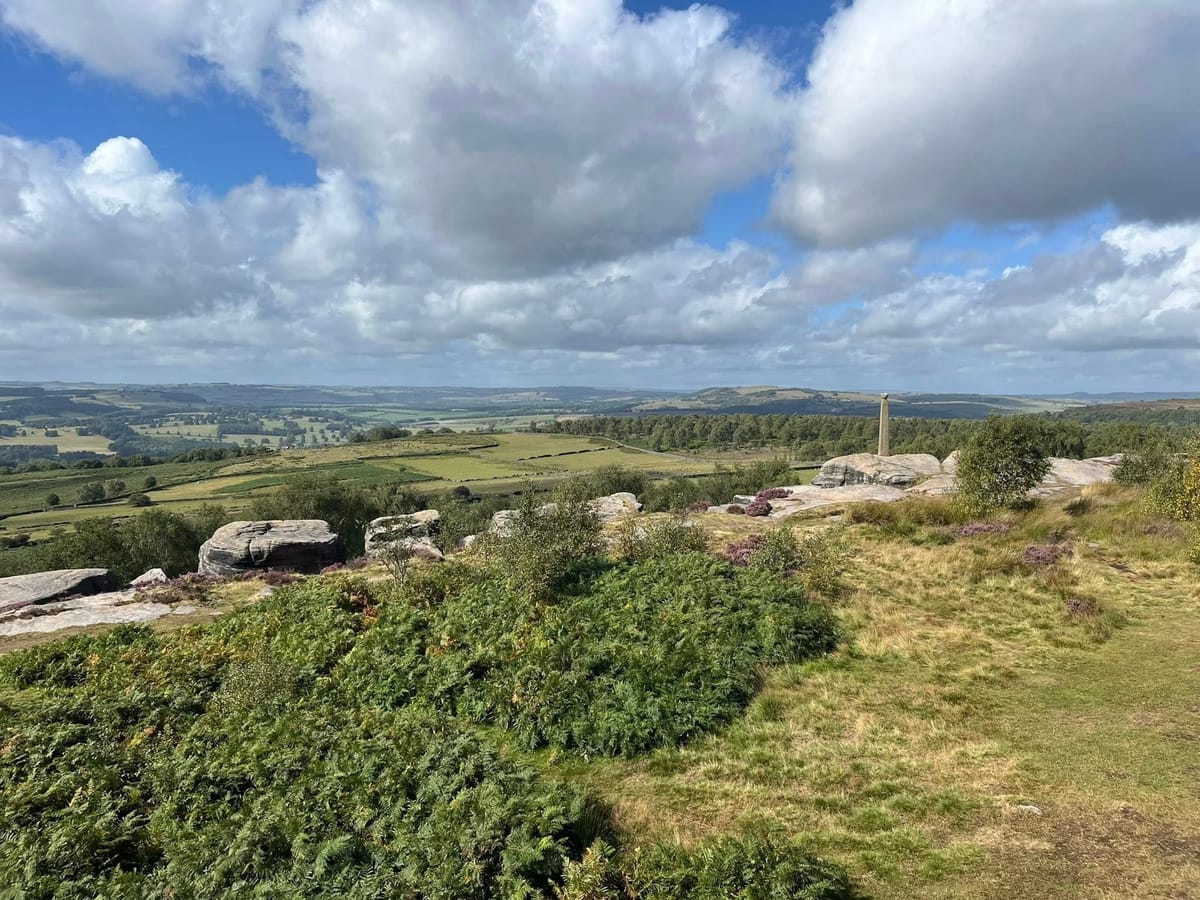
Climb Toward Crich
![Photo: Open view / climb toward Crich viewpoint]
Leaving the trees, the route climbs gently toward Crich Stand and beyond. From here, you get those classic Derbyshire rolling hill views — patchwork fields and distant ridges under an open sky. It’s a good spot to stop, catch your breath, and take a few photos.
Conditions: [insert notes — wind exposure? rocky? slope difficulty?]
Highlights
- Quiet riverside paths in the first half
- Changing scenery from water to woods to open hills
- Classic Peak District views without the crowds
- Good spots for a break — and photos — on open benches or fields
Tips & Things to Know
- Footwear: Sturdy boots help — some sections can be muddy after rain.
- Dog friendly: Perfect for dogs that don’t mind a bit of undergrowth and open fields.
- Water: There are stretches beside the river but bring your own supply.
- Navigation: OS Maps route does a great job, but keep an eye on waymarkers where paths cross farmland.
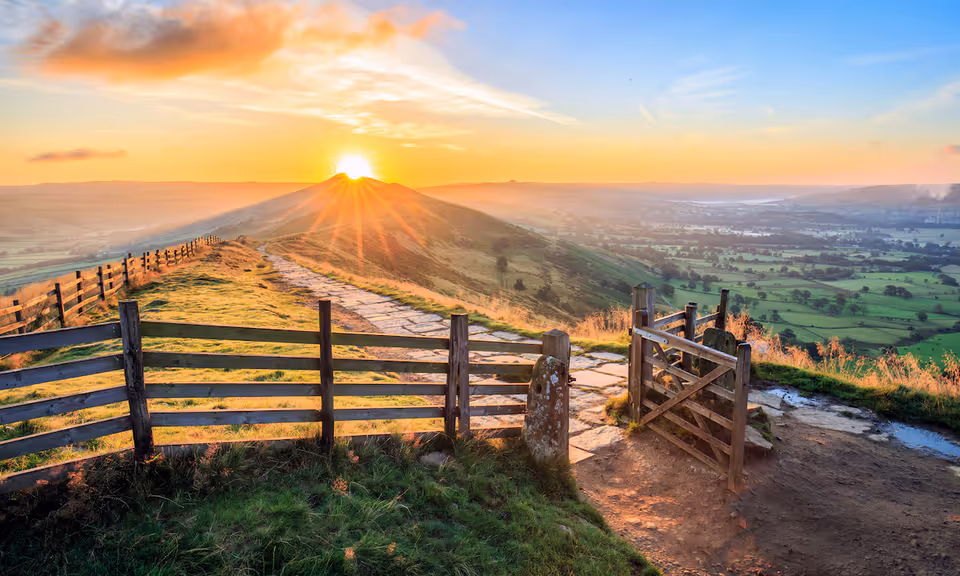
Final Thoughts
This is a hike that feels easy to do but rewarding to walk. Between the open skies near Crich and the quieter riverside early on, it has a bit of everything without any technical scrambling or long, steep ups.
![Photo: Sunset / final leg into Crich]
Photo: Last stretch into Crich, with late light painting the fields.
The GPX file can be found below.
Disclaimer:
All walks, hikes, paddles, and routes described on this site are for general guidance only. Any GPX files or route instructions provided are intended as a reference, not as professional advice or guaranteed directions. Outdoor pursuits, can be, by their very nature, dangerous.
You are entirely responsible for your own safety. Always plan your trip according to your experience, the weather, and local conditions. Make sure you have suitable clothing, equipment, and navigation tools, and follow the Countryside Code.
Tails & Trails accepts no liability for any loss, injury, or damage incurred while using the information provided on this site.